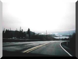
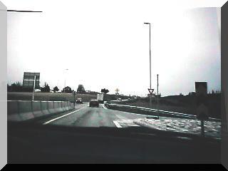
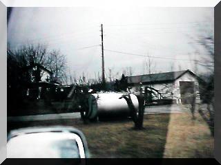
E16-有料道路(4・26) E16-有料道路(4・26)
オスロ周辺フィヨルド地方を通って、いよいよオスロに近かずく、オスロ手前のこの坂道の一部が有料道路となっていた.
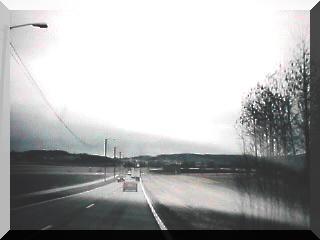
坂を越えると、Sandvika
いよいよOsloへのE18号線に乗る
Oslo郊外地図
Oslo市街地図
Norway's official tourist guideノルウェ-公式観光ガイド
E16-有料道路 Oslo 郊外
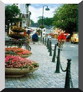
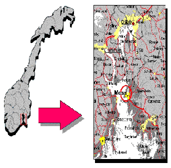
中心はDrammenで、オスロから40Kmの地点、自然の良港で、バイキングが活躍した舞台である.
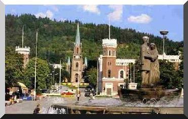
Drammen-Buskerud Capital
, which takes its name from one of the earliest boats on The
Telemark Canal, continues timeworthy traditions in passenger routes on
the Norsj and Heddalsvatn (lakes). The canal boat is
intimate and cozy with ample room on deck,and makes scheduled trips between
Notodden and Lunde - accommodating 140 passengers.
Telemarken
Vestfold-Horten
Vestfold -Holmestrand |
E16-charge road (4・26)
the town in Oslo, more and more through the provinces of
the fjord around Oslo. A part of this slope
with thetown in Oslo forward was a pay road.
We arrive at Sandvika when this slope is
exceeded. To Oslo more and more The car runs
in the E18 line.
Oslo 郊外田園風景
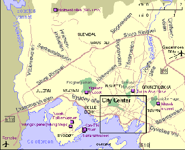
Oslo Map
Østfold - Akershus -Nedre Buskerud - Vestfold
- Telemarkの地域からなる.地図に見るようなフィヨルドの侵食の跡に拓かれた町である.Ibsen Skien Telemark Norway
Ibsen pages
Ibsen links
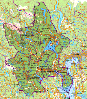
BuskerudMap
- the capital of Buskerud
- 40 km. from Oslo
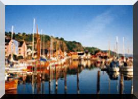
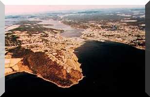
Natural harbours were of major importance
The Vikings sailed their longships into Drammensfjord, transporting both
their loots and goods to be distributed throughout the country.
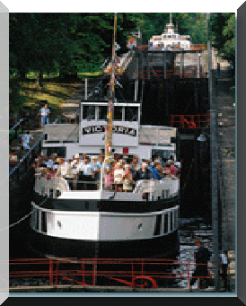
Telemark Canal運河で有名なところ、この運河がこの地域の重要な交通手段であり、経済活動の核である.
Med feriebase i Vestfold - Oslofjorden vest - har du et fantastisk utgangspunkt
for et utall av opplevelser. Hvis du og og din familie velger å tilbringe
feriedagene i Vestfold, er dere garantert et et stort mangfold av ulike
reisemål og attraksjoner.
Vestfold -Map
Vestfold - Larvik
Vestfold -Sandefjord
|
Oslo市は、自動車排気ガスから市民を守るため、Oslo市街への進入車に対し、12Nkrの税金をかけているのを、うっかり忘れてしまっていた.
進入口に車の列ができていたので、何も列のできていない進入口から進入しようとすると、カメラのシャッタ-をきるのが見え、あ!!そうだ!!!シマッタ!!!
税金を払うため列が!!!
車を高速道路の脇に停車させ、進入口の徴収係の女性にわけを説明してお金を払おうとすると、ダメダと言う・・・・・
自動 精算システムのため、あなたの車番号が記録されてしまったので、Oslo市内の銀行にこの用紙を持って支払いにいってくれと言う.
みると、ちゃんと罰金25Nkrが書かれている.
金のことより、もう既に午後3時をまわっており、デンマ-クのコペンハ-ゲンまでは、まだ500Kmから道のりが残っており、
事情を説明してこの場で精算させてくれと言ったが、ノ-と言って聞いてくれない.
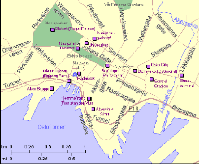
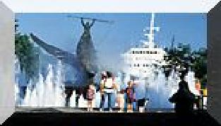
Oslo Center Map
高速道路を降りて、市街の渋滞の中、銀行を探していたら何時間かかるかわからない.ここは絶対譲れないと思ったので・・・・・・・しばらく、押し問答が続いた!!!!
そうこうしていると、中から責任者の男性が出てきて、事情を説明すると、
気の毒に思ったのだろう.
支払いのシステムは変更できないので、自分が仕事が終わってから、明日にでも代わりに銀行へ支払いにいこうと言ってくれた.
大変ありがたい好意に感謝し、日本からもってきていたシルクの押し絵を感謝の気持ちとして差し上げたら、珍しいのか大変喜んでもらえた
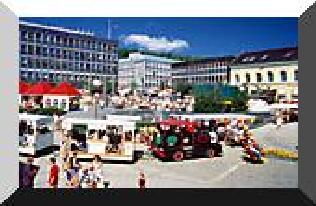
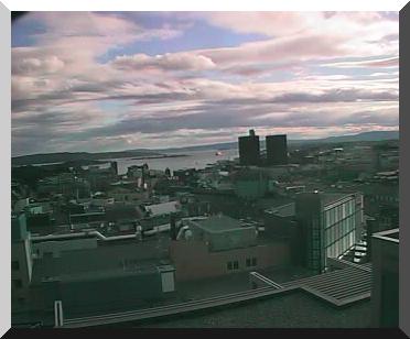
OsloLive pictures
カメラによる現在のOslo |
Going into entrance to the Oslo town- E18-(4・26)
The Oslo city has carelessly forgotten to
put the tax of 12Nkr on the going into car
to the Oslo town to defend thecitizens from the car exhaust
gas. The row of the car can have been done
at the going into entrance. Going into entrance
where anything cannot do row ・・・ - It was
hearing of the coming sound when going into
as for the shutter of the camera. It is so.
! ! ! To pay the tax, the row . ! ! The car
is stopped sideward of the expressway and
when explains because of the woman of the
person in charge of the collection at the
going into entrance and money is paid, it
is said NO!
Oslo市街への進入口-E18-
Oslo市街-ライブ・カメラ- |
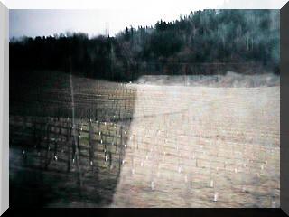
Field of Oslo suburbs |
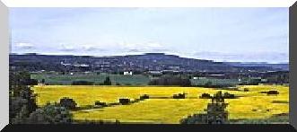
無事、Osloを通過、E18号線の田園地帯を、一路スウェ-デン国境を
Oslo郊外の畑
Field of Oslo suburbs
Safely, Oslo is passed, We aim at the country zone in the E18 line, and
aim at a Swedish border straight. |
MOSS-E6-(4・26)
OSLOから、南へ55Kmノルウェ-のリゾ-ト地”MOSS"を通過
急に明るい雰囲気になってくる.
Moss Map
Moss
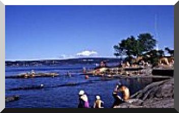
Moss-The Oslo Fjord outside - |
goes back to the Middle Ages. The city was born because of the natural
resources in the surrounding country:
- The waterfall gave energy to saws and mills
- The lake 'Vansjø was used for log driving and transportion of
grain
- The Moss strait ('Mossesundet') was a good and protecting harbour
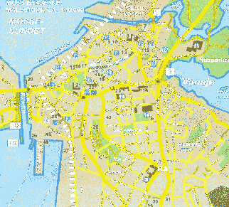
Moss Center Map
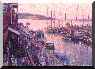
Moss-The Channel (northside)-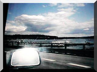
Moss-The Oslo Fjord outside - |